Preservation structure mapping is transforming how conservationists protect cultural heritage, natural sites, and historical landmarks with unprecedented precision and efficiency. 🗺️
In an era where climate change, urbanization, and human activity threaten our most treasured sites, the need for innovative conservation approaches has never been more critical. Traditional preservation methods, while valuable, often lack the comprehensive spatial understanding necessary to address complex deterioration patterns and structural vulnerabilities. Enter preservation structure mapping—a sophisticated blend of technology, data analysis, and conservation science that’s reshaping how we understand, document, and protect our heritage.
The Foundation: What is Preservation Structure Mapping?
Preservation structure mapping represents a holistic approach to conservation that combines advanced surveying techniques, digital documentation, and analytical frameworks to create detailed representations of physical structures and sites. Unlike conventional assessment methods that rely primarily on visual inspection and periodic monitoring, this methodology employs cutting-edge technologies to capture multidimensional data about a structure’s condition, materials, and vulnerabilities.
At its core, preservation structure mapping involves creating comprehensive digital twins of physical assets—whether they’re ancient temples, historic buildings, archaeological sites, or natural formations requiring protection. These digital representations serve as living documents that evolve with ongoing monitoring and provide conservationists with actionable intelligence for intervention strategies.
The process integrates multiple data sources including photogrammetry, laser scanning, thermal imaging, ground-penetrating radar, and satellite imagery. By synthesizing these diverse information streams, preservation professionals can identify deterioration patterns invisible to the naked eye, predict future degradation, and prioritize conservation efforts based on empirical evidence rather than intuition alone.
Revolutionary Technologies Driving the Transformation 🔬
The technological backbone of preservation structure mapping consists of several interconnected systems that work in concert to provide unprecedented insight into structural conditions and conservation needs.
LiDAR and Laser Scanning Precision
Light Detection and Ranging (LiDAR) technology has emerged as a game-changer in heritage conservation. This remote sensing method uses laser pulses to measure distances with millimeter-level accuracy, creating detailed three-dimensional point clouds that capture every architectural detail, surface irregularity, and structural element. For fragile sites where physical contact might cause damage, LiDAR offers a non-invasive documentation method that preserves information without risk.
Terrestrial laser scanning allows conservationists to document entire building facades, interior spaces, and decorative elements in hours rather than weeks. Airborne LiDAR systems can map extensive archaeological landscapes, revealing hidden structures beneath vegetation canopies and identifying settlement patterns that inform broader conservation strategies.
Photogrammetry and Image-Based Modeling
Photogrammetry converts overlapping photographs into accurate three-dimensional models through sophisticated algorithms that identify common points across multiple images. This approach democratizes high-quality documentation by making it accessible to organizations with limited budgets, since it requires only cameras and processing software rather than expensive specialized equipment.
Modern photogrammetric techniques can achieve remarkable resolution, capturing texture details, color variations, and surface characteristics that reveal material composition and deterioration patterns. When combined with multispectral imaging, photogrammetry can even detect subsurface moisture, salt efflorescence, and biological growth before they become visible problems.
Ground-Penetrating Radar and Subsurface Investigation
Understanding what lies beneath visible surfaces is crucial for comprehensive conservation planning. Ground-penetrating radar (GPR) transmits electromagnetic waves into structures and analyzes reflected signals to identify voids, moisture accumulation, hidden chambers, and structural reinforcements without invasive probing.
This technology has proven invaluable for investigating foundation conditions, detecting buried archaeological features, and identifying structural modifications obscured by later additions. By mapping subsurface conditions, conservationists can address hidden deterioration factors that might otherwise undermine surface treatments and restoration efforts.
From Data to Action: The Analytical Framework 📊
Collecting vast amounts of spatial and structural data represents only the first step in effective preservation structure mapping. Transforming this information into actionable conservation strategies requires sophisticated analytical frameworks that interpret patterns, assess risks, and prioritize interventions.
Geographic Information Systems (GIS) serve as the integrative platform where diverse data layers converge. Conservationists can overlay structural condition assessments with environmental monitoring data, historical documentation, material analysis results, and vulnerability models to create comprehensive risk maps that guide decision-making.
Machine learning algorithms increasingly enhance analytical capabilities by identifying deterioration patterns across multiple sites, predicting failure modes based on historical data, and recommending intervention strategies aligned with similar case studies. These artificial intelligence applications don’t replace human expertise but augment professional judgment with data-driven insights that might otherwise remain hidden in complex datasets.
Condition Assessment and Damage Mapping
One of preservation structure mapping’s most immediate applications involves systematic condition assessment and damage documentation. By creating baseline surveys that capture current conditions in exhaustive detail, conservators establish reference points for monitoring change over time.
Color-coded damage maps visualize deterioration severity across structures, making it immediately apparent where urgent intervention is needed versus where conditions remain stable. These visualizations facilitate communication among stakeholders, helping funders, community members, and decision-makers understand conservation priorities without requiring technical expertise to interpret raw data.
Real-World Applications Transforming Conservation Practice 🏛️
The theoretical promise of preservation structure mapping has translated into tangible conservation successes across diverse contexts and heritage types. Examining specific applications reveals how this approach addresses practical challenges and delivers measurable outcomes.
Protecting Archaeological Treasures
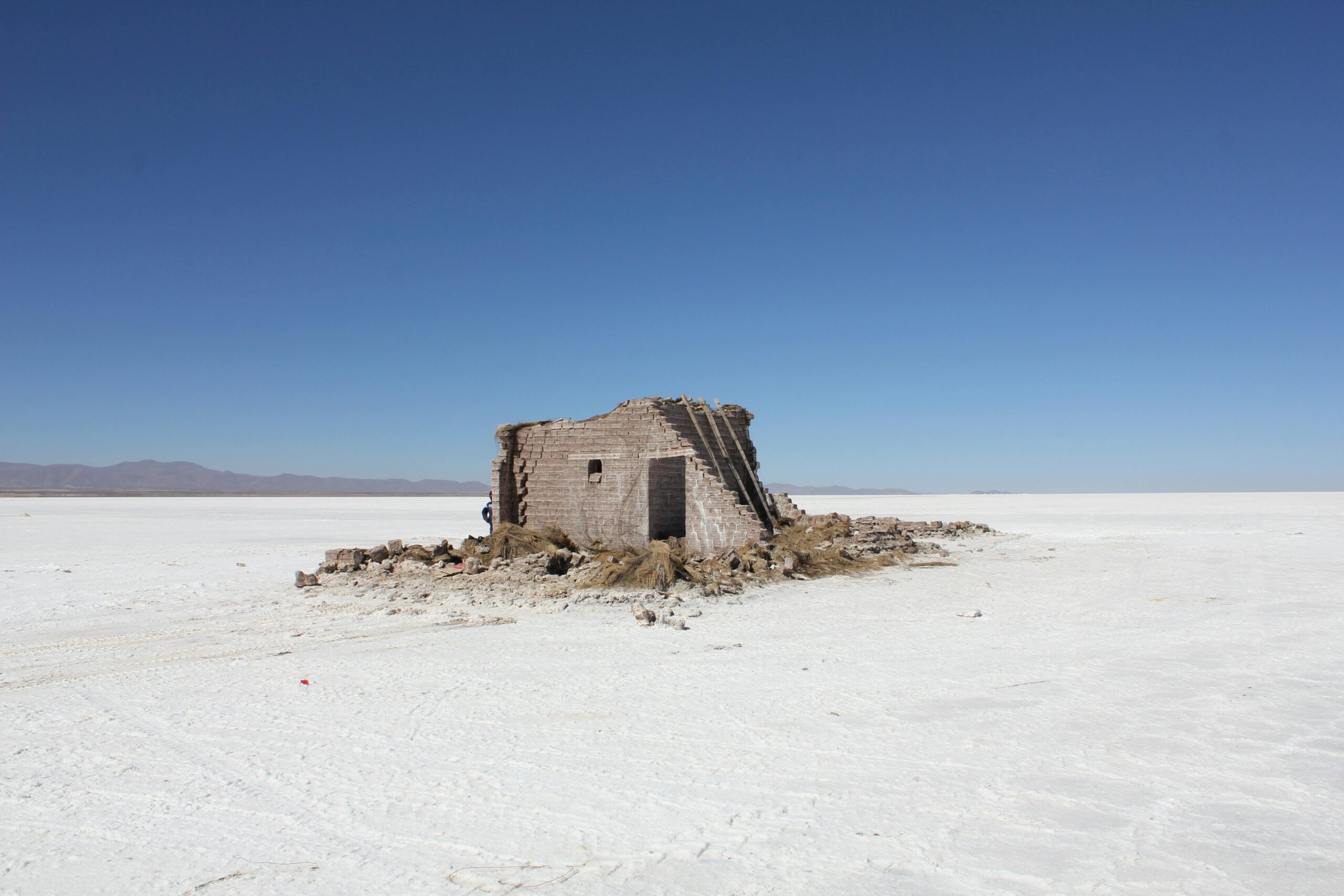
Ancient archaeological sites face unique preservation challenges from environmental exposure, tourism pressure, and the irreplaceable nature of their materials. Preservation structure mapping has enabled conservators to document fragile ruins with unprecedented detail before implementing stabilization measures, ensuring that interventions can be precisely targeted and reversible.
At Pompeii, comprehensive laser scanning documented vulnerable structures throughout the archaeological park, creating digital archives that survive even if physical materials deteriorate. These models inform structural reinforcement projects and help managers monitor collapse risks in real-time, preventing catastrophic losses at this UNESCO World Heritage site.
Historic Building Conservation
Historic structures present conservation challenges that preservation structure mapping addresses through detailed documentation of original craftsmanship, structural modifications over time, and current condition issues. Digital models enable architects to design sympathetic interventions that respect historical integrity while meeting contemporary safety and functionality requirements.
For buildings undergoing adaptive reuse—transforming historic structures for modern purposes—preservation mapping ensures that new systems can be integrated without damaging significant historic fabric. Detailed structural understanding allows engineers to identify load-bearing capacities, locate concealed spaces for modern infrastructure, and plan modifications that preserve character-defining features.
Natural Heritage and Geological Site Management
Preservation structure mapping extends beyond built heritage to natural sites requiring protection. Geological formations, caves, and landscapes of cultural significance benefit from detailed monitoring that tracks erosion, documents ecological changes, and assesses visitor impact.
In cave conservation, laser scanning creates permanent records of delicate formations while helping managers design pathways that minimize visitor contact with vulnerable features. Repeat surveys quantify erosion rates and identify areas where intervention might slow deterioration, informing evidence-based management strategies.
The Collaborative Advantage: Breaking Down Silos 🤝
Perhaps preservation structure mapping’s most transformative aspect lies not in technology itself but in how it facilitates collaboration among diverse specialists. Conservation has traditionally involved sequential handoffs between documentation specialists, materials scientists, structural engineers, and restoration craftspeople, with limited integration of their respective insights.
Digital preservation platforms hosting structure mapping data create shared workspaces where multidisciplinary teams can simultaneously access and contribute to evolving conservation records. An engineer analyzing structural stability can view the materials conservator’s findings about mortar deterioration in the same interface, leading to integrated solutions that address multiple deterioration factors simultaneously.
This collaborative framework extends to community engagement and public participation in heritage stewardship. Interactive digital models make conservation accessible to non-specialists, allowing community members to explore threatened sites virtually, understand deterioration challenges, and contribute local knowledge that complements technical assessments.
Overcoming Implementation Challenges and Barriers
Despite its transformative potential, preservation structure mapping faces practical challenges that conservation organizations must navigate to realize its benefits. Understanding these obstacles helps practitioners develop realistic implementation strategies appropriate to their contexts and resources.
Technical Capacity and Training Requirements
Effectively deploying preservation structure mapping requires technical skills that many heritage professionals haven’t traditionally needed. Operating scanning equipment, processing point cloud data, managing GIS platforms, and interpreting analytical outputs demand training investments that resource-constrained organizations may struggle to provide.
Addressing this capacity gap requires educational initiatives that integrate digital documentation methodologies into conservation training programs, alongside professional development opportunities for established practitioners. Partnerships between heritage organizations and technical universities can provide mutually beneficial arrangements where students gain practical experience while contributing to documentation projects.
Data Management and Long-Term Accessibility
Preservation structure mapping generates enormous data volumes that present storage, management, and accessibility challenges. A single laser scanning project might produce gigabytes of point cloud data, plus derived models, analytical outputs, and associated documentation—all requiring secure storage and organization systems that ensure long-term accessibility.
Establishing robust data management protocols becomes essential, including standardized file formats, metadata schemas, backup systems, and migration strategies that ensure data remains accessible as technology evolves. Without attention to these mundane but critical details, valuable documentation risks becoming inaccessible “digital dark data” that fails to serve future conservation needs.
Balancing Cost and Accessibility
While costs for documentation technologies have decreased dramatically, comprehensive preservation structure mapping still requires financial investments that may exceed available resources for many heritage sites, particularly in developing regions where conservation needs are often most acute.
Innovative funding models and technology-sharing arrangements help address these disparities. Mobile scanning labs that travel between sites, equipment lending programs, and volunteer documentation initiatives increase access to mapping capabilities. Open-source software alternatives reduce licensing costs, making sophisticated analytical tools available regardless of budget constraints.
Looking Forward: The Future of Heritage Conservation 🔮
As preservation structure mapping matures from emerging innovation to established best practice, its trajectory points toward increasingly integrated, predictive, and democratized conservation approaches that fundamentally reimagine heritage stewardship.
Artificial intelligence will play expanding roles in automating damage detection, predicting deterioration trajectories, and recommending intervention strategies based on global datasets encompassing thousands of conservation projects. These systems will help practitioners benefit from collective knowledge rather than relying solely on individual experience.
Internet of Things (IoT) sensors integrated with structure mapping platforms will enable continuous condition monitoring, alerting conservators to emerging problems before they escalate into crises. Environmental sensors tracking temperature, humidity, vibration, and structural movement will feed real-time data into analytical models that assess conservation effectiveness and trigger maintenance responses.
Virtual and augmented reality applications built on preservation mapping data will transform public engagement with heritage, allowing global audiences to explore threatened sites remotely while reducing physical visitation pressure on fragile resources. These immersive experiences can generate awareness and support for conservation while making cultural heritage accessible regardless of geography or mobility constraints.
Empowering Stewards: Practical Steps for Implementation 💡
Organizations seeking to incorporate preservation structure mapping into their conservation practices can begin with manageable steps that build capacity incrementally rather than requiring wholesale transformation of established workflows.
Start with pilot projects at representative sites that demonstrate methodology value and reveal implementation challenges in controlled contexts. Document lessons learned and refine approaches before scaling to additional locations. These initial projects generate internal champions who advocate for expanded adoption based on demonstrated results.
Invest in foundational infrastructure including data storage systems, processing hardware, and analytical software before acquiring expensive field equipment. Cloud-based platforms increasingly offer affordable options that eliminate local server requirements while providing collaborative access for distributed teams.
Develop partnerships with academic institutions, technology companies, and fellow heritage organizations to share equipment, expertise, and best practices. Collaborative networks reduce individual organizational burdens while advancing collective capacity across the conservation field.
Prioritize training and professional development to ensure that technological capabilities match organizational capacity to use them effectively. Technical tools deliver value only when practitioners understand their applications, limitations, and appropriate contexts for deployment.
The Preservation Imperative: Why This Matters Now
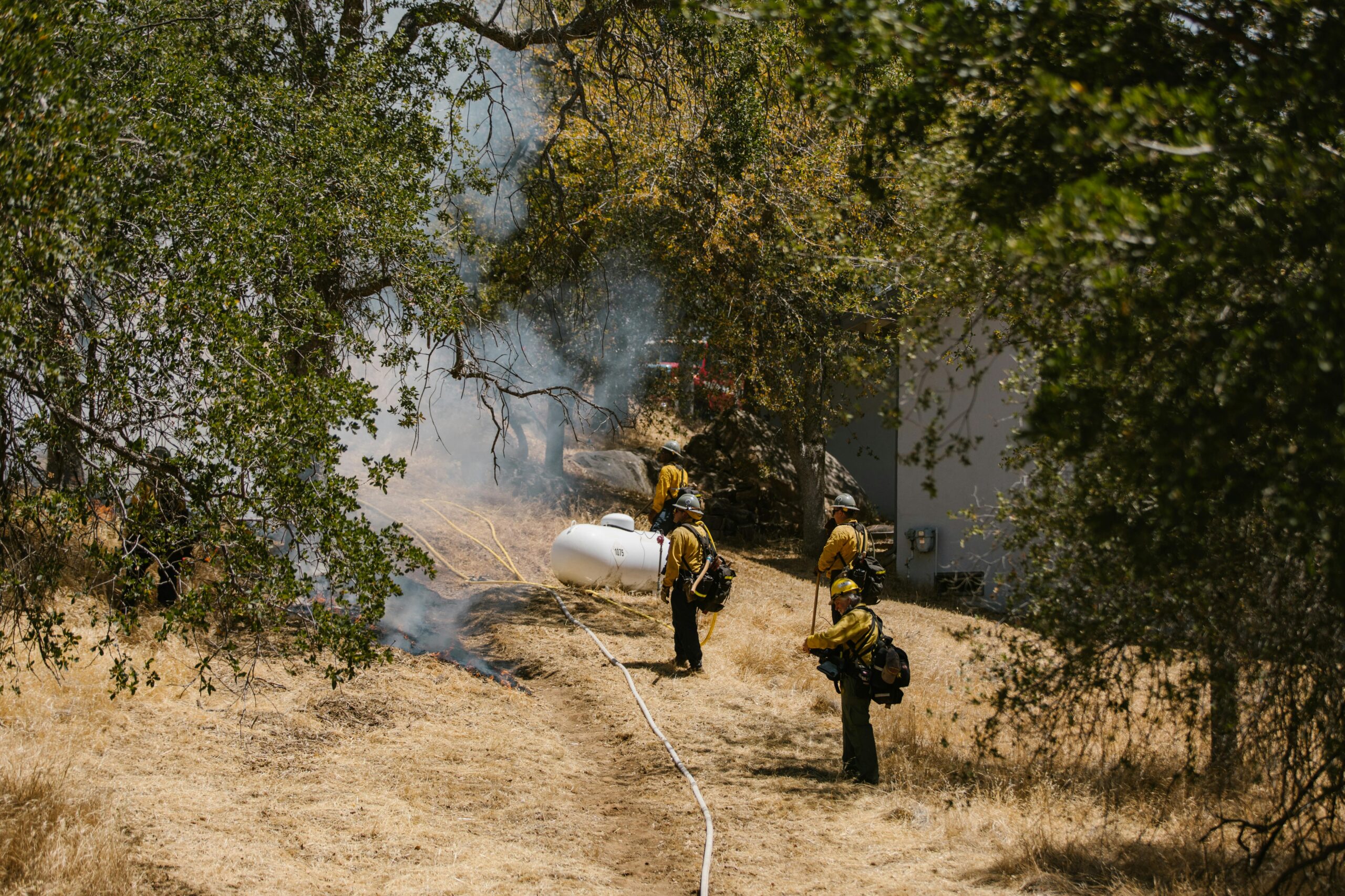
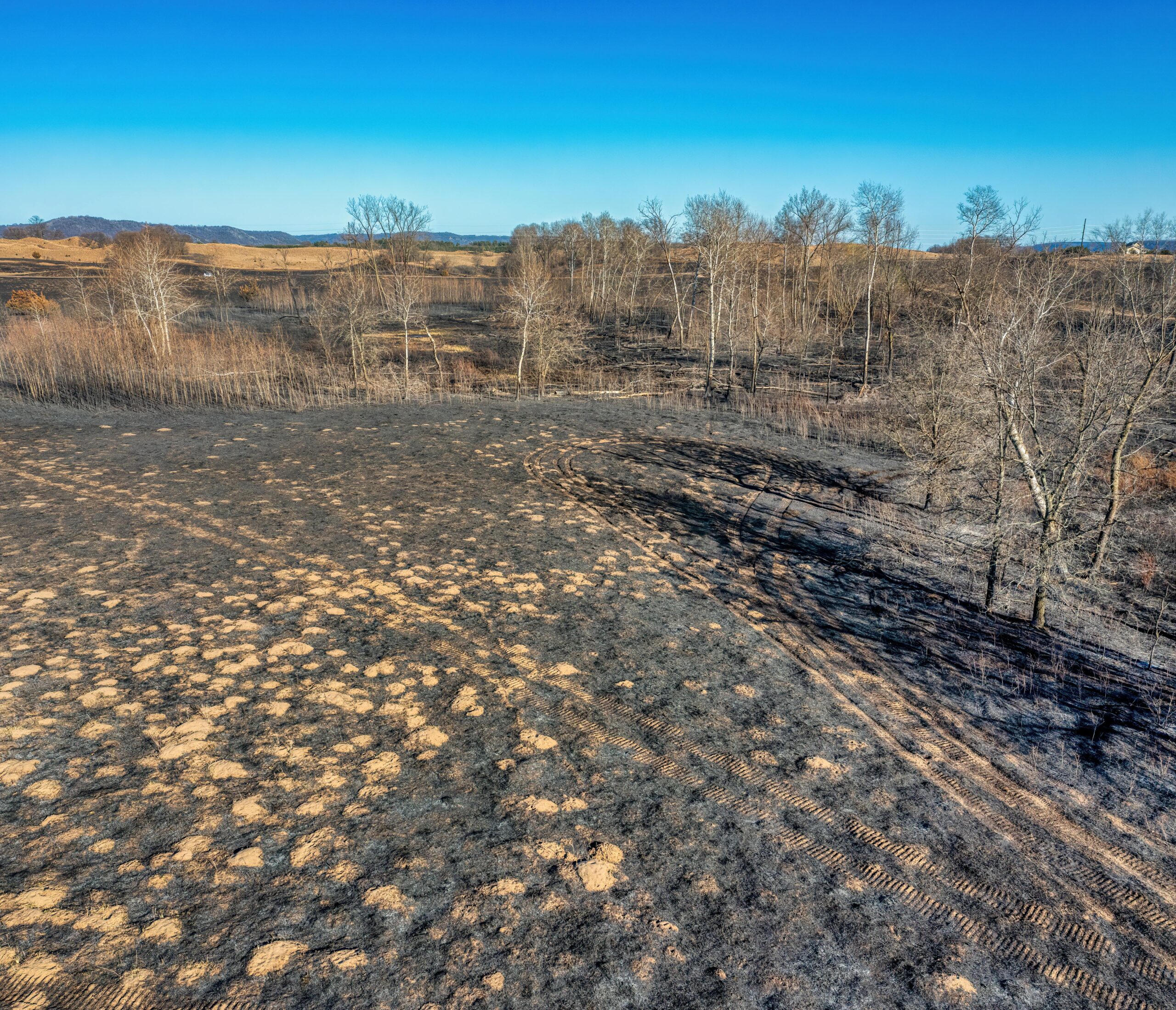
Climate change accelerates deterioration processes while increasing risks from extreme weather events that threaten heritage resources worldwide. Rising sea levels, intensifying storms, shifting precipitation patterns, and temperature extremes create conservation challenges unprecedented in human history. Preservation structure mapping provides tools to understand these threats, monitor their impacts, and develop adaptive management strategies that protect heritage for future generations.
Urbanization and development pressures place heritage sites at risk from vibration damage, altered drainage patterns, and encroaching construction. Detailed documentation through structure mapping creates records that survive even if physical sites are compromised, while evidence-based condition monitoring strengthens arguments for protective designations and planning controls.
The urgency of documentation becomes particularly acute for sites in conflict zones or politically unstable regions where heritage faces deliberate destruction or collateral damage. Digital preservation through structure mapping creates cultural archives that enable eventual reconstruction and ensure that knowledge survives even when physical materials do not.
Bridging Past and Future: A New Conservation Paradigm 🌉
Preservation structure mapping represents more than technological advancement—it embodies a fundamental shift in conservation philosophy toward proactive, evidence-based stewardship that honors heritage while embracing innovation. By combining rigorous documentation with analytical insight and collaborative practice, this approach equips conservators to address contemporary challenges while maintaining fidelity to traditional values of authenticity and integrity.
The revolution in conservation practices enabled by structure mapping ultimately serves timeless purposes: protecting irreplaceable heritage, maintaining connections to history and identity, and ensuring that future generations inherit the cultural and natural treasures that enrich human experience. As technologies evolve and methodologies mature, the fundamental commitment to thoughtful stewardship remains constant—now enhanced by tools that make conservation more effective, accessible, and sustainable than ever before.
Heritage conservation stands at a pivotal moment where unprecedented threats meet unprecedented capabilities. Preservation structure mapping provides pathways forward that honor the past while securing the future, transforming how we protect the places, structures, and landscapes that define our shared heritage. The secrets being unlocked through systematic mapping and analysis reveal not just deterioration patterns and structural vulnerabilities, but possibilities for conservation practice that previous generations could scarcely imagine—possibilities that we’re only beginning to explore.