Preservation structure mapping has emerged as a critical tool in documenting, analyzing, and protecting our world’s most valuable cultural and historical assets for future generations.
🏛️ Understanding the Foundation of Preservation Structure Mapping
Preservation structure mapping represents a sophisticated intersection of technology, history, and conservation science. This methodology involves creating detailed, multi-layered documentation of historic buildings, archaeological sites, and cultural landscapes to ensure their longevity and proper maintenance.
At its core, this practice combines traditional surveying techniques with modern digital technologies to create comprehensive records of heritage sites. These records serve multiple purposes: they guide restoration efforts, inform maintenance schedules, support educational initiatives, and provide irreplaceable documentation should disaster strike.
The process goes far beyond simple photography or sketching. It encompasses structural analysis, material composition studies, environmental impact assessments, and historical research—all integrated into a cohesive framework that tells the complete story of a structure’s past, present, and potential future.
The Evolution of Heritage Documentation Methods
Historical preservation has always relied on documentation, but the methods have transformed dramatically over centuries. Early preservationists worked with hand-drawn sketches, written descriptions, and rudimentary measurements. These efforts, while admirable, often lacked the precision and comprehensiveness needed for accurate restoration work.
The introduction of photography in the 19th century revolutionized heritage documentation. Suddenly, preservationists could capture visual details with unprecedented accuracy. However, photographs alone couldn’t convey structural information, material properties, or three-dimensional relationships critical to conservation work.
The digital revolution brought transformative changes. Geographic Information Systems (GIS), 3D laser scanning, photogrammetry, and Building Information Modeling (BIM) have elevated preservation mapping to levels previous generations could barely imagine. These technologies enable millimeter-accurate measurements, comprehensive material analysis, and virtual reconstructions that support both conservation and public engagement.
🔍 Core Components of Effective Structure Mapping
A comprehensive preservation mapping project incorporates several essential elements that work together to create a complete picture of a heritage site.
Geometric Documentation and Spatial Analysis
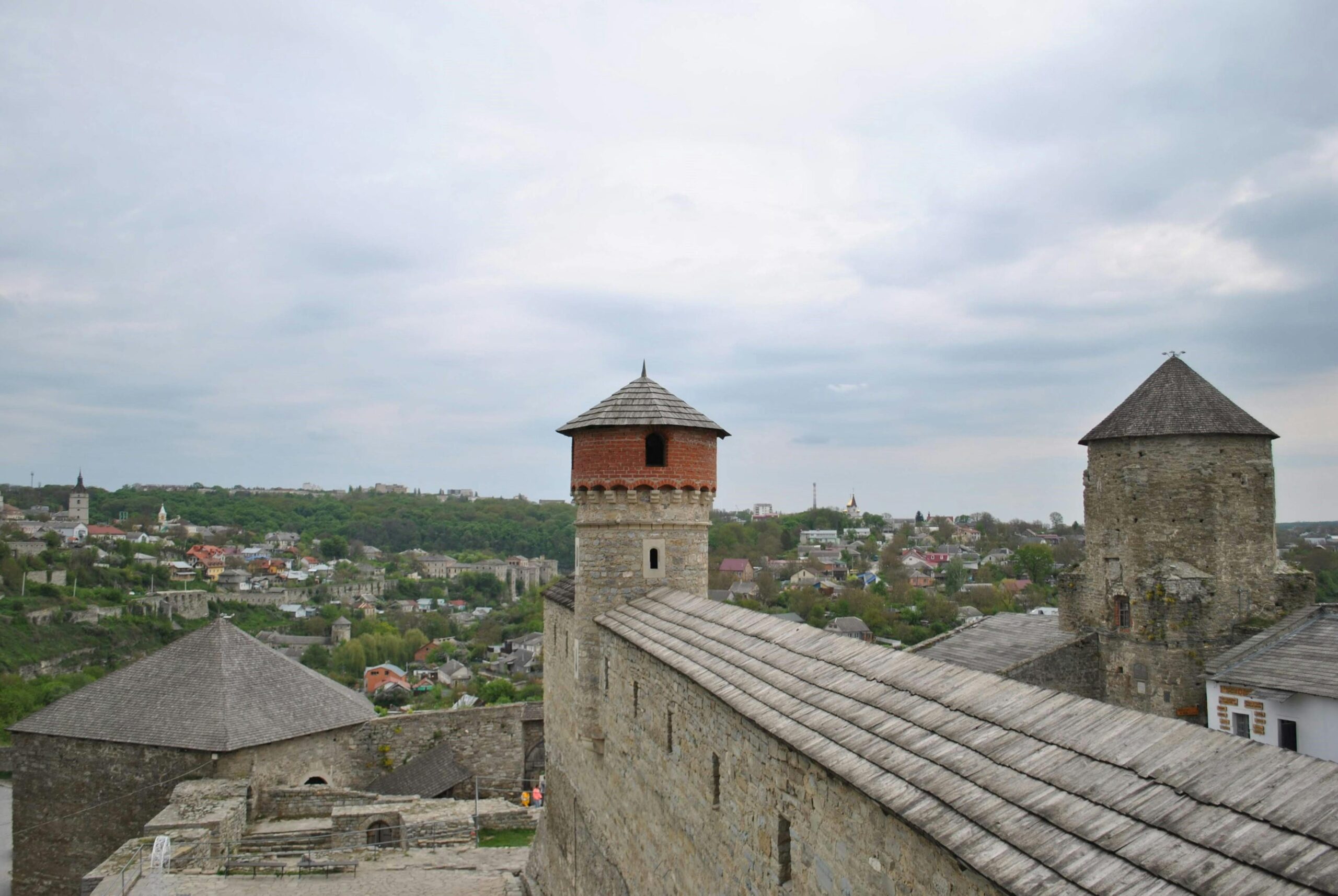
Accurate geometric documentation forms the backbone of any preservation mapping initiative. This involves capturing the precise dimensions, proportions, and spatial relationships of architectural elements. Modern laser scanning technology can capture millions of data points per second, creating “point clouds” that represent structures with extraordinary detail.
These geometric records serve multiple functions. They establish baseline conditions for monitoring structural changes over time, provide accurate templates for replacement elements, and enable virtual access for researchers who cannot physically visit sites.
Material and Condition Assessment
Understanding what structures are made of and their current state of preservation is equally crucial. Material mapping identifies different building materials, their properties, and how they interact with environmental factors. This knowledge directly informs conservation strategies and material selection for restoration work.
Condition assessment involves systematically documenting deterioration patterns, structural vulnerabilities, and areas requiring immediate intervention. This information gets integrated into the overall mapping framework, creating a prioritized action plan for preservation efforts.
Historical and Cultural Context
Preservation mapping extends beyond physical documentation to encompass the stories, traditions, and cultural significance embedded in heritage sites. This contextual information helps preservationists make informed decisions that respect original intent, cultural values, and community connections to these places.
Historical research uncovers construction techniques, original designs, and modifications made over time. This knowledge proves invaluable when determining appropriate intervention strategies that maintain historical authenticity while ensuring structural stability.
🛠️ Technologies Transforming Preservation Practices
The toolkit available to modern heritage professionals continues expanding, offering increasingly sophisticated methods for documentation and analysis.
3D Laser Scanning and Point Cloud Processing
Terrestrial laser scanning has become indispensable for heritage documentation. These instruments emit laser pulses that bounce off surfaces and return to the sensor, measuring distances with millimeter precision. The result is a dense point cloud—a three-dimensional constellation of measured points that accurately represents the scanned structure.
Processing these point clouds transforms raw data into usable formats. Specialized software can extract architectural drawings, create 3D models, calculate volumes, and detect deformations. This technology excels at capturing complex geometries that would be extremely time-consuming to measure manually.
Photogrammetry and Image-Based Modeling
Photogrammetry extracts three-dimensional information from overlapping photographs. Advanced algorithms identify common points across multiple images and calculate their spatial positions, generating accurate 3D models without expensive laser scanning equipment.
This approach offers significant advantages for heritage sites. It’s relatively affordable, portable, and can capture texture information with exceptional color fidelity. Drone-based photogrammetry has opened new possibilities for documenting large sites, roofs, and other hard-to-reach areas safely and efficiently.
Ground-Penetrating Radar and Non-Invasive Investigation
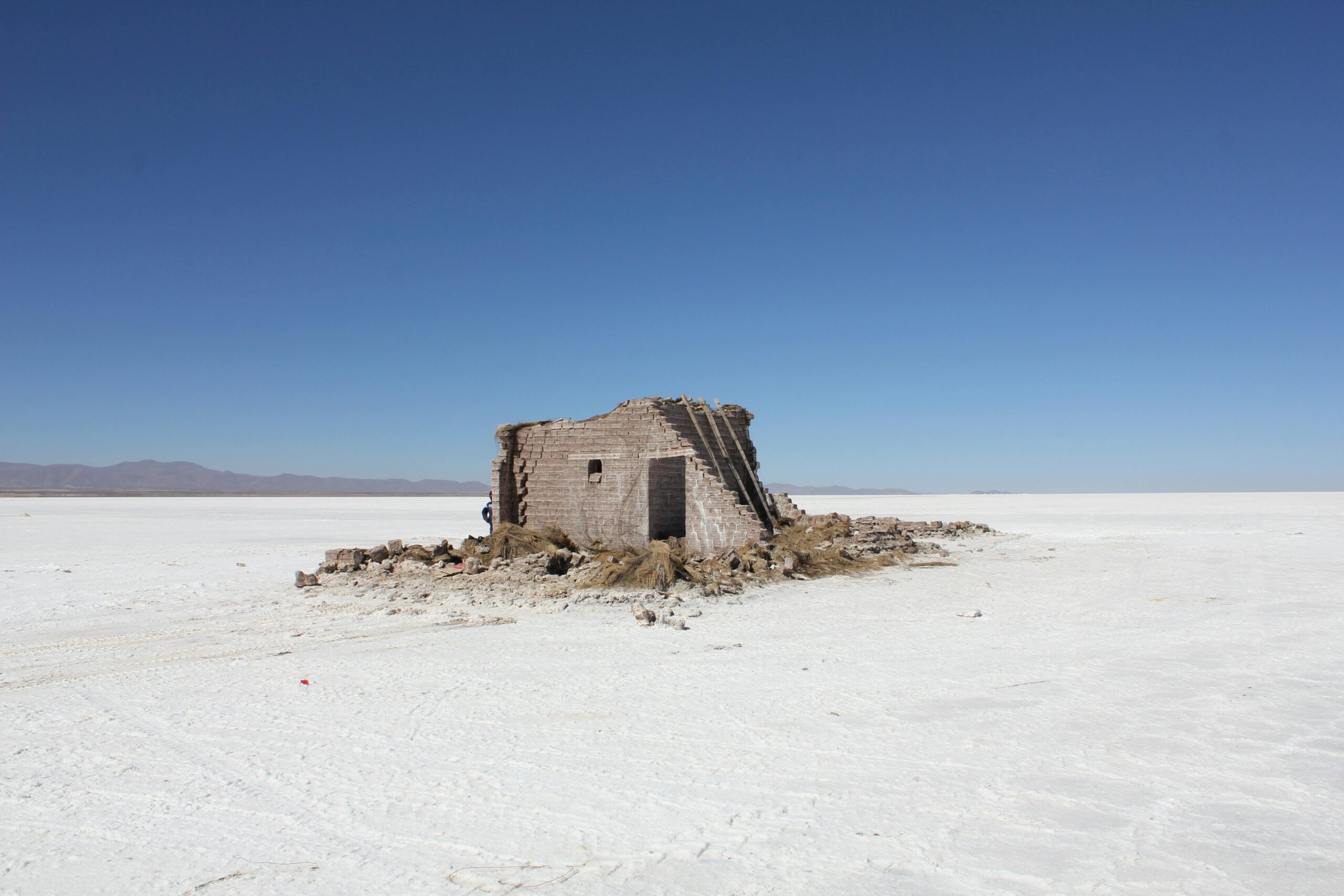
Many preservation questions lie beneath surfaces—hidden foundations, buried archaeological remains, or concealed structural elements. Ground-penetrating radar sends electromagnetic pulses into materials and records reflections from subsurface features, revealing what’s hidden without invasive excavation.
This technology proves particularly valuable for archaeological sites and historic structures where invasive investigation could cause damage. It helps preservationists understand complete structural systems, including elements not visible to the naked eye.
Building Comprehensive Digital Heritage Archives 📚
The ultimate goal of preservation structure mapping extends beyond individual documentation projects to creating accessible, sustainable digital archives that serve global heritage communities.
Data Management and Long-Term Accessibility
Heritage documentation generates massive amounts of data—terabytes of point clouds, thousands of photographs, detailed drawings, and extensive research notes. Managing this information requires robust systems that ensure long-term accessibility and usability.
Effective data management involves standardized file formats, comprehensive metadata, organized storage systems, and regular backups. Open-source formats and platform-independent solutions help ensure that today’s documentation remains accessible to future researchers, even as technology evolves.
Creating Interactive Virtual Experiences
Digital documentation opens exciting possibilities for public engagement. Virtual reality experiences transport people to heritage sites from anywhere in the world. Interactive 3D models allow detailed exploration impossible even during physical visits. These tools democratize access to cultural heritage, supporting education and fostering global appreciation for diverse historical traditions.
Gaming engines now enable creation of immersive virtual environments from preservation documentation. These experiences serve educational purposes, support tourism marketing, and provide valuable training environments for conservation professionals.
🌍 Real-World Applications and Success Stories
Preservation structure mapping has proven its value across countless projects worldwide, each demonstrating unique applications and benefits.
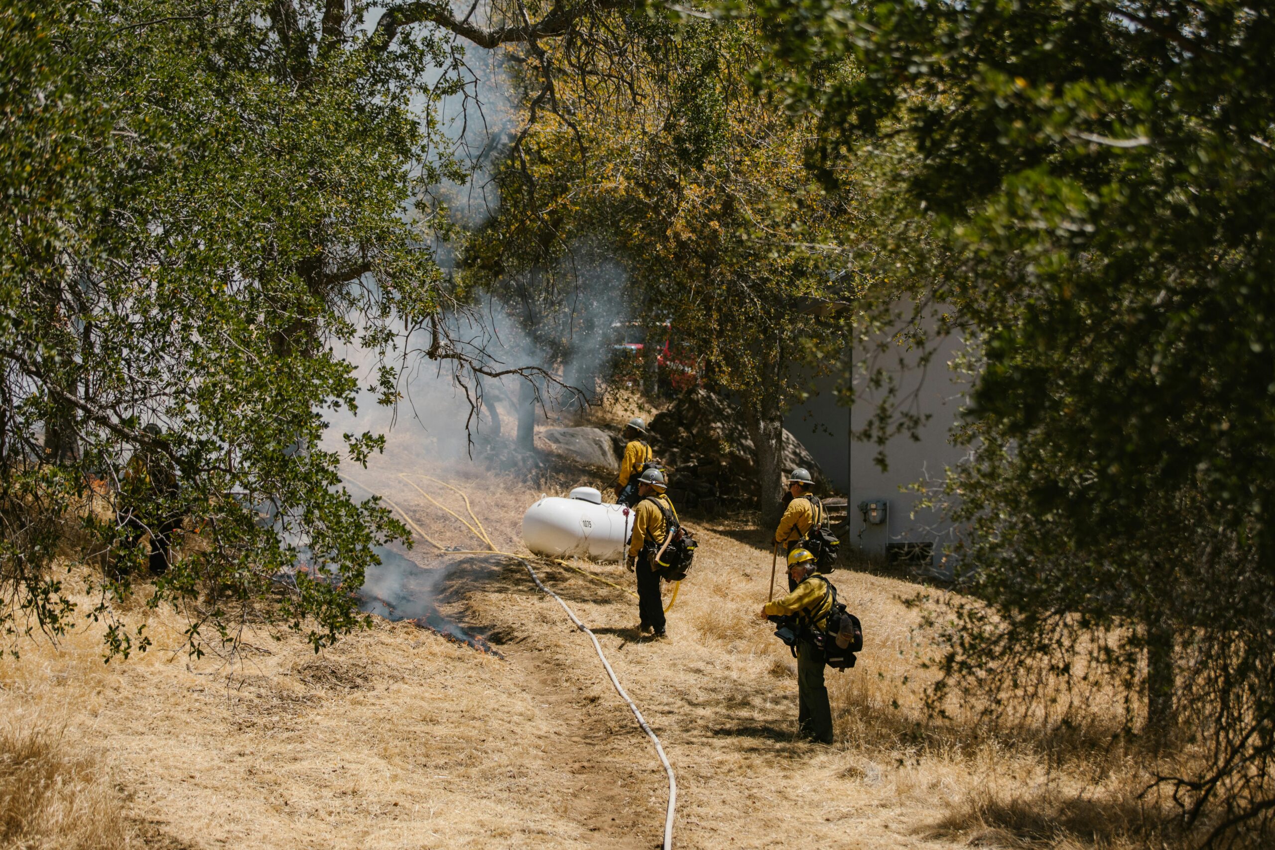
Post-Disaster Documentation and Recovery
When tragedy strikes heritage sites—whether through conflict, natural disaster, or accident—existing documentation becomes invaluable for recovery efforts. The 2019 fire at Notre-Dame Cathedral in Paris highlighted this reality. Fortunately, detailed laser scans conducted by preservation professionals years earlier provided precise records that informed reconstruction planning.
Proactive documentation of at-risk sites has become a priority for heritage organizations globally. Projects like UNESCO’s initiatives in conflict zones create digital records that preserve cultural memory even when physical structures face uncertain futures.
Monitoring Structural Health Over Time
Regular documentation enables detection of subtle changes that might indicate structural problems. By comparing scans taken at different intervals, conservators can identify movement, deterioration acceleration, or emerging vulnerabilities requiring intervention.
This proactive approach shifts preservation from reactive crisis management to preventive maintenance, often reducing long-term costs while better protecting irreplaceable heritage assets.
Supporting Sustainable Tourism Development
Detailed structure mapping helps balance tourism access with preservation needs. Virtual replicas can reduce physical visitor pressure on fragile sites while still providing meaningful experiences. Documentation also informs visitor management strategies, identifying areas where infrastructure improvements can enhance access without compromising structural integrity.
Overcoming Challenges in Heritage Mapping Projects ⚡
Despite technological advances, preservation mapping faces ongoing challenges that require creative problem-solving and interdisciplinary collaboration.
Technical and Resource Constraints
High-quality documentation equipment represents significant investment. Many heritage sites, particularly in developing regions, lack resources for cutting-edge technology. However, innovative approaches are emerging. Smartphone-based photogrammetry, open-source software, and international partnerships are making sophisticated documentation more accessible.
Training represents another hurdle. Effective preservation mapping requires expertise spanning history, architecture, technology, and data management. Building capacity through educational programs and knowledge-sharing initiatives helps expand the global pool of skilled practitioners.
Balancing Documentation with Access and Privacy
Creating comprehensive digital records raises questions about data sharing, intellectual property, and security. While open access supports research and public engagement, some situations require restricted distribution—sacred sites, security-sensitive locations, or privately owned properties.
Establishing clear protocols about data ownership, usage rights, and appropriate sharing frameworks helps navigate these complex considerations while maximizing documentation’s preservation value.
🎯 Developing Effective Preservation Mapping Strategies
Successful heritage documentation requires careful planning, appropriate resource allocation, and clear objectives that align with broader conservation goals.
Defining Project Scope and Objectives
Every preservation mapping project should begin with clear questions: What information is needed? How will it be used? What level of detail is appropriate? These fundamental questions guide methodological choices and resource allocation.
Different conservation needs require different approaches. Emergency stabilization might prioritize rapid assessment of structural conditions, while comprehensive restoration planning demands exhaustive documentation of every architectural element. Matching methodology to objectives ensures efficient resource use and meaningful outcomes.
Integrating Multiple Data Sources
The most valuable preservation documentation synthesizes information from diverse sources—laser scans, photographs, historical archives, material analysis, and traditional survey measurements. Integration creates comprehensive understanding that no single method provides alone.
Modern software platforms facilitate this integration, allowing different data types to coexist within unified spatial frameworks. This holistic approach supports more informed decision-making and reveals relationships that might otherwise remain hidden.
The Future Landscape of Heritage Preservation 🚀
Emerging technologies and evolving methodologies continue reshaping preservation possibilities, promising even more sophisticated approaches to safeguarding cultural heritage.
Artificial Intelligence and Automated Analysis
Machine learning algorithms are beginning to automate aspects of heritage documentation and analysis. AI can identify architectural styles, detect deterioration patterns, and extract features from point clouds more quickly than manual processing. These tools amplify human expertise rather than replacing it, allowing professionals to focus on interpretation and decision-making.
Crowdsourcing and Community Participation
Digital platforms enable broader participation in heritage documentation. Citizen science initiatives invite public contributions—photographs, historical information, and local knowledge—that enrich official documentation efforts. This collaborative approach builds community connections to heritage sites while expanding available resources.
Climate Change and Adaptive Preservation Strategies
Environmental changes pose growing threats to heritage sites worldwide. Preservation mapping increasingly incorporates climate vulnerability assessments, monitoring environmental impacts, and modeling future scenarios. This forward-looking approach helps prioritize interventions and develop adaptive management strategies for uncertain futures.
Empowering the Next Generation of Heritage Stewards 🌟
Ensuring long-term heritage preservation requires cultivating expertise, fostering innovation, and building global networks of committed professionals and engaged communities.
Educational programs integrating traditional conservation knowledge with modern documentation technologies prepare practitioners for contemporary challenges. Interdisciplinary training—combining history, architecture, engineering, computer science, and cultural studies—produces professionals capable of holistic approaches to heritage stewardship.
International collaboration strengthens preservation efforts globally. Sharing methodologies, standards, and lessons learned accelerates innovation and helps regions with limited resources benefit from global expertise. Digital connectivity makes such collaboration increasingly feasible and productive.
Public engagement remains fundamental. When communities understand and value their heritage, they become active participants in its preservation. Documentation projects that involve local populations, respect indigenous knowledge, and communicate findings accessibly build sustainable preservation cultures extending far beyond any single project.
Transforming Documentation into Lasting Protection 💎
Preservation structure mapping represents far more than technical documentation—it embodies our commitment to honoring the past while building sustainable futures. Each mapped structure, documented site, and archived record strengthens the foundation for informed conservation decisions that respect historical authenticity while addressing contemporary needs.
The methodologies and technologies discussed here provide powerful tools, but their ultimate value depends on thoughtful application guided by deep respect for cultural heritage and commitment to long-term stewardship. As we continue developing increasingly sophisticated documentation capabilities, we must remain grounded in fundamental preservation principles: minimal intervention, respect for original materials and craftsmanship, and recognition that we serve as temporary custodians of irreplaceable treasures belonging to all humanity.
The digital archives we create today will serve researchers, conservators, and curious minds for generations. They preserve not just physical forms but also stories, traditions, and cultural meanings embedded in historic places. In doing so, preservation structure mapping helps ensure that history’s lessons, beauty, and inspiration remain available to enlighten, educate, and enrich future generations navigating their own complex relationships between past and present.