Collaborative mapping tools are revolutionizing how conservation teams work together, enabling real-time data sharing and strategic decision-making across geographic boundaries.
🌍 Why Conservation Teams Need Modern Mapping Solutions
Conservation work has always been about understanding landscapes, tracking wildlife, and protecting ecosystems. Yet for decades, teams struggled with paper maps, disconnected databases, and communication barriers that slowed progress. Today’s conservation challenges demand something better: digital mapping platforms that bring teams together in real-time, regardless of where they’re working in the field.
The shift toward collaborative mapping isn’t just about technology for technology’s sake. It’s about solving real problems that conservation professionals face daily. When a ranger discovers poaching activity, when a researcher identifies a critical habitat, or when a community reports environmental changes, this information needs to reach the right people immediately. Collaborative mapping tools make this possible, transforming isolated observations into coordinated action.
Modern conservation teams operate across vast territories, often in remote locations with limited connectivity. They need tools that work offline, sync automatically when connection returns, and provide everyone with the same updated information. This coordination capability can mean the difference between saving an endangered species and losing it forever.
📊 The Evolution of Conservation Mapping Technology
Conservation mapping has come a long way from hand-drawn boundaries and physical pin boards. The journey from paper to digital platforms represents more than technological advancement—it reflects a fundamental shift in how we approach environmental protection.
Geographic Information Systems (GIS) first entered conservation work in the 1980s, but these early systems were expensive, required specialized training, and operated on individual computers. Data sharing meant copying files to physical media or sending them through slow internet connections. Teams working in the same organization often maintained separate, incompatible datasets.
The emergence of cloud-based mapping platforms changed everything. Suddenly, multiple users could view and edit the same map simultaneously. Field teams could collect data on mobile devices and see it appear instantly on their colleagues’ screens back at headquarters. This transformation enabled conservation organizations to scale their efforts and respond more quickly to emerging threats.
🔧 Essential Features of Collaborative Mapping Platforms
Not all mapping tools are created equal, especially when it comes to conservation work. The most effective platforms share several key characteristics that make them particularly valuable for environmental teams.
Real-Time Data Synchronization
The ability to see updates as they happen is crucial for conservation operations. When a team member adds a new observation, marks a boundary, or updates a status, everyone with access should see that change immediately. This real-time synchronization ensures teams are always working with the most current information, reducing confusion and preventing duplicated efforts.
Offline Functionality
Conservation work often happens far from cellular towers and Wi-Fi networks. Effective mapping tools must function fully offline, allowing field teams to collect data, view existing information, and navigate without connectivity. Once connection is restored, the platform should automatically sync all changes, seamlessly integrating field observations with the central database.
Customizable Data Layers
Different conservation projects require different types of information. A marine conservation team needs ocean depth data, coral reef locations, and fishing zones. A forest protection project needs vegetation types, elevation data, and human activity patterns. The best collaborative mapping tools allow teams to create custom data layers tailored to their specific needs while maintaining compatibility with standard geographic datasets.
Multi-User Access Controls
Conservation projects involve diverse stakeholders: staff members, volunteers, partner organizations, government agencies, and local communities. Sophisticated access controls let administrators determine who can view, edit, or delete information. This flexibility protects sensitive data while enabling broad collaboration.
🌟 Real-World Applications in Conservation Work
Collaborative mapping tools prove their value across diverse conservation contexts. Understanding how different organizations apply these technologies reveals their versatility and impact.
Wildlife Monitoring and Anti-Poaching Operations
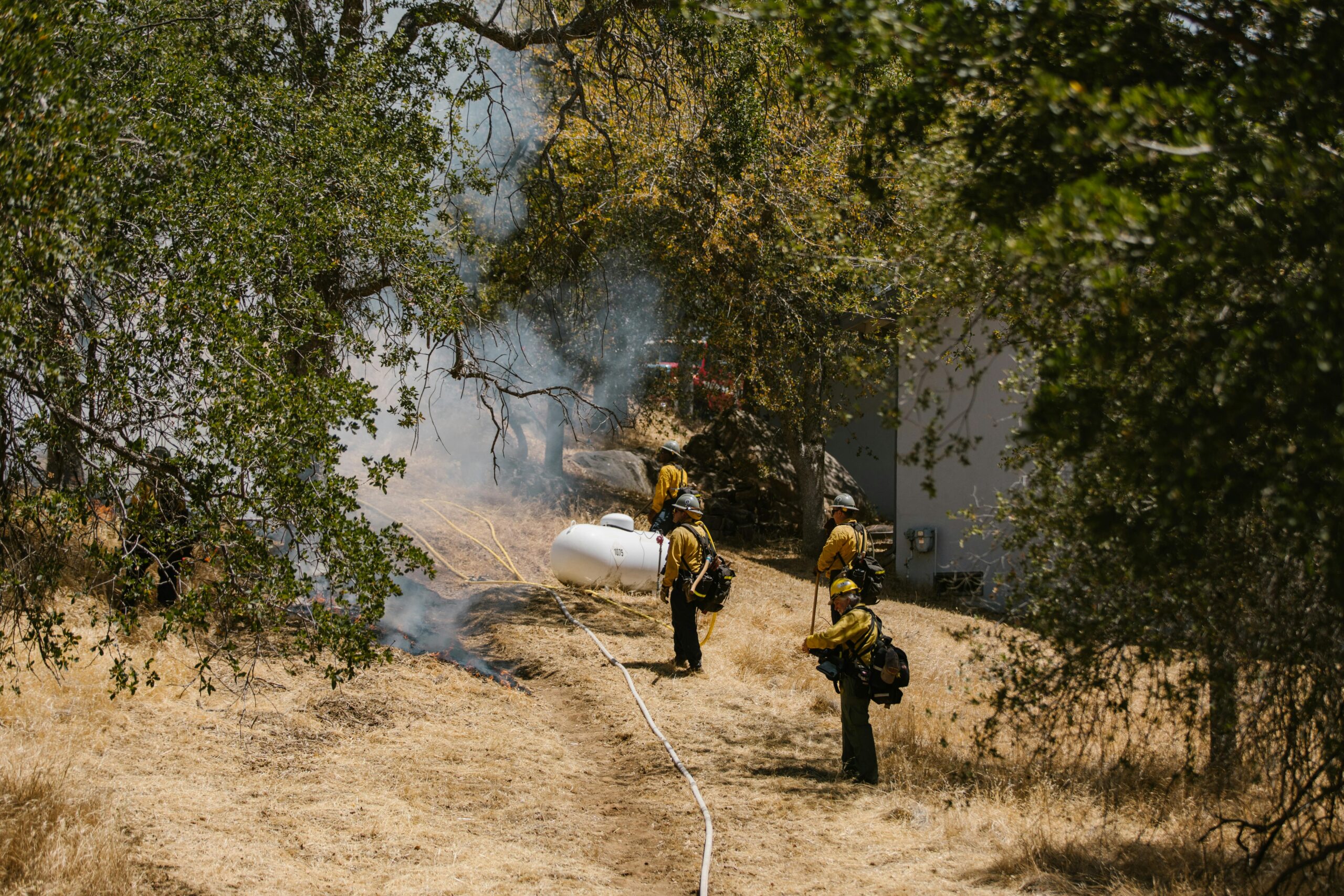
Ranger teams protecting endangered species use collaborative maps to coordinate patrols, share wildlife sightings, and respond to threats. When one ranger spots signs of poaching activity, they can mark the location on the shared map, triggering alerts to nearby patrols and supervisors. Over time, these observations create heat maps showing where threats are concentrated, enabling more strategic deployment of limited resources.
GPS collar data from tracked animals can feed directly into collaborative mapping platforms, showing real-time locations and movement patterns. This integration helps teams understand habitat use, identify critical corridors, and detect unusual behavior that might indicate human-wildlife conflict.
Habitat Restoration Planning
Restoration projects require careful planning and coordination. Teams use collaborative maps to identify degraded areas, prioritize sites for intervention, and track restoration progress over time. Volunteers can access maps showing exactly where they should plant trees or remove invasive species, while coordinators monitor coverage to ensure no areas are missed or duplicated.
Before-and-after imagery layered onto collaborative maps provides powerful evidence of restoration success, helping organizations secure continued funding and community support.
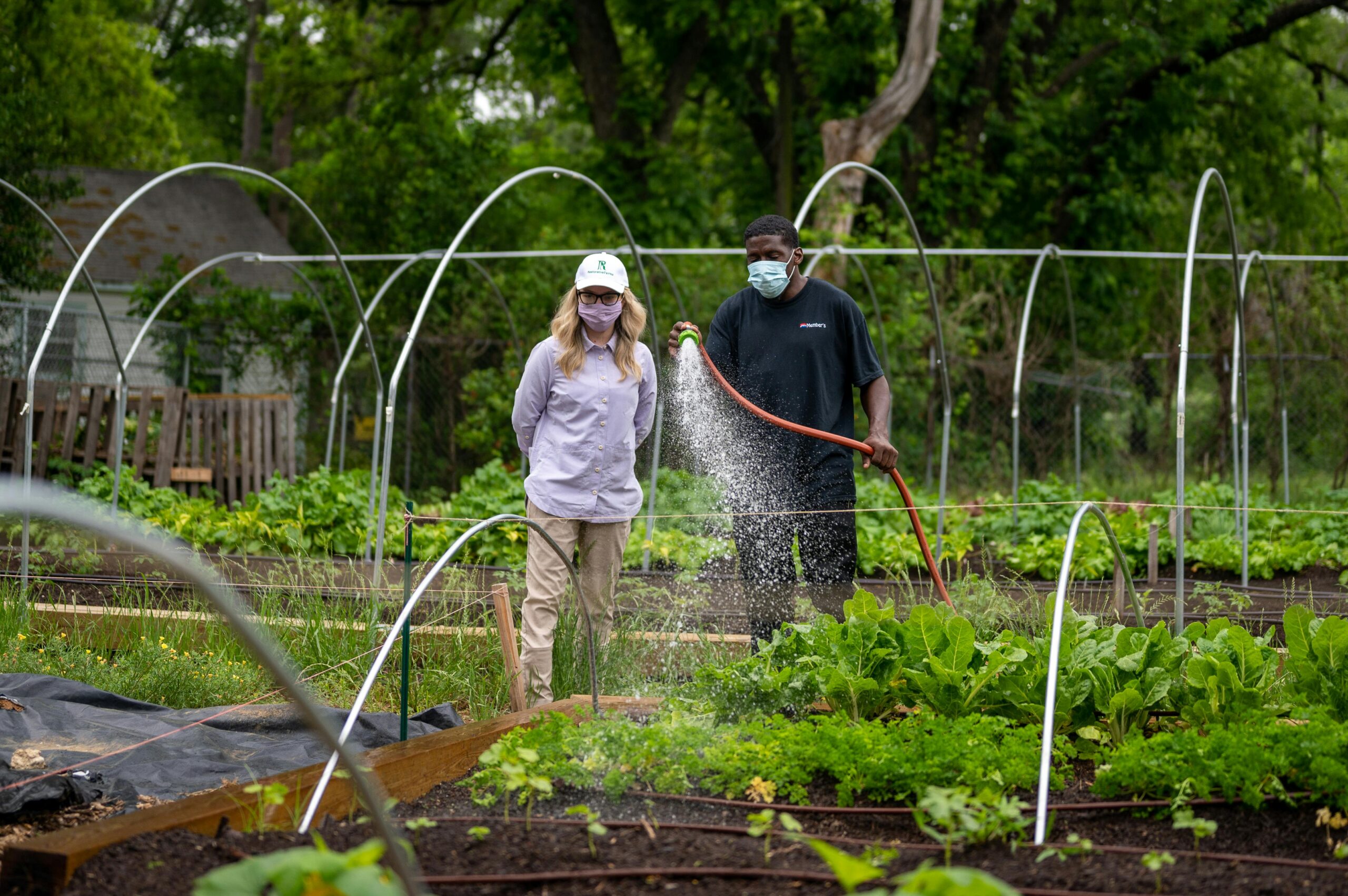
Community-Based Conservation
Some of the most innovative conservation work involves local communities as active participants. Collaborative mapping tools enable community members to document their traditional knowledge, report environmental changes, and participate in monitoring efforts. This inclusion not only generates valuable data but also builds local ownership of conservation outcomes.
Indigenous communities, in particular, use mapping platforms to document sacred sites, traditional land use areas, and ecological knowledge that might otherwise be lost. These maps become powerful tools for asserting land rights and ensuring cultural perspectives inform conservation strategies.
🚀 Leading Collaborative Mapping Platforms for Conservation
Several platforms have emerged as particularly valuable for conservation teams, each with distinct strengths and applications.
Google My Maps and Google Earth
Google’s mapping tools offer accessibility and ease of use that make them popular starting points for conservation teams. Google My Maps allows users to create custom maps with multiple layers, share them with collaborators, and embed them in websites. While it lacks advanced features like offline functionality and sophisticated data collection tools, its simplicity makes it ideal for basic coordination and public engagement.
QGIS with Cloud Storage
QGIS, the leading open-source GIS platform, becomes collaborative when combined with cloud storage solutions. Teams can store project files in shared folders, though this approach requires careful coordination to avoid version conflicts. For organizations with GIS expertise and limited budgets, QGIS offers powerful analysis capabilities that commercial platforms may not match.
ArcGIS Online
Esri’s ArcGIS Online provides enterprise-grade collaborative mapping with extensive customization options. It supports sophisticated data collection through Survey123 and Field Maps applications, offers robust analysis tools, and integrates with countless data sources. The platform’s comprehensiveness comes with complexity and cost, making it most suitable for larger organizations with dedicated GIS staff.
Mapbox and Open-Source Alternatives
Developer-friendly platforms like Mapbox allow conservation organizations to build custom mapping applications tailored to their exact needs. These solutions require technical expertise but offer maximum flexibility and control. Open-source alternatives like OpenStreetMap provide collaborative mapping frameworks that communities worldwide can contribute to and benefit from.
Mobile-First Platforms
Platforms specifically designed for mobile data collection, such as KoBoToolbox, ODK Collect, and Epicollect5, excel at field data gathering with offline functionality. While not full-featured mapping platforms, they integrate geographic data collection with flexible form design, making them ideal for biodiversity surveys, community interviews, and rapid assessments.
💡 Implementing Collaborative Mapping in Your Conservation Team
Adopting collaborative mapping tools requires more than choosing software. Success depends on thoughtful implementation that considers your team’s needs, capacities, and workflows.
Assess Your Team’s Needs and Skills
Start by understanding what problems you’re trying to solve. Do you need better coordination among field teams? More efficient data collection? Improved communication with stakeholders? Clear objectives help you select appropriate tools and measure success.
Equally important is assessing technical capacity. Teams with strong GIS skills can leverage sophisticated platforms, while those new to digital mapping should start with user-friendly options. Consider not just current skills but also your capacity and willingness to learn new systems.
Start Small and Scale Gradually
Don’t try to digitize everything at once. Begin with a pilot project—perhaps mapping a single protected area or tracking one species. This approach lets your team learn the technology, identify challenges, and refine workflows before expanding to larger implementations.
Early successes build momentum and demonstrate value to skeptics who might resist change. Document these wins and share them with your organization to generate support for broader adoption.
Develop Clear Data Standards
Collaborative mapping only works if everyone contributes data in consistent formats. Establish clear standards for how locations should be recorded, what attributes must be included, and how different observation types should be categorized. These standards might feel constraining initially, but they ensure data remains usable and analyzable over time.
Create simple reference guides and checklists that field teams can use to ensure consistency. The easier you make it to follow standards, the more likely people will comply.
Invest in Training and Support
Technology adoption fails when people don’t feel confident using new tools. Provide hands-on training that goes beyond basic functionality to address real scenarios your team will encounter. Designate power users who can provide peer support and troubleshoot common issues.
Create ongoing learning opportunities through refresher sessions, advanced workshops, and knowledge-sharing forums where team members can exchange tips and solutions.
🔐 Addressing Data Security and Privacy Concerns
Collaborative mapping involves sharing information, but conservation work sometimes requires confidentiality. Finding the right balance is essential for protecting sensitive locations and species.
Endangered species locations, for example, should never be publicly shared, as poachers could use this information. Even within your organization, consider whether everyone needs access to precise locations or if approximate areas suffice. Most collaborative platforms offer privacy controls that let you restrict sensitive data to authorized users.
When working with indigenous communities and their traditional knowledge, obtain clear consent about how information will be used and shared. Some communities develop their own mapping protocols that respect cultural protocols around sacred or restricted knowledge.
Regular security audits help ensure your collaborative mapping setup remains protected against unauthorized access. This includes reviewing who has access to what data, ensuring strong password practices, and keeping software updated with the latest security patches.
📈 Measuring Success and Demonstrating Impact
Conservation organizations must demonstrate their effectiveness to funders, partners, and communities. Collaborative mapping platforms generate data that can powerfully illustrate impact.
Track metrics like patrol coverage, response times to threats, acres under restoration, and wildlife population trends. Time-series maps showing change over months or years provide compelling visual evidence of conservation progress. Stakeholder maps demonstrating community engagement or partner coordination illustrate collaborative success.
Use these maps in reports, presentations, and fundraising materials. Geographic visualization helps audiences understand complex conservation challenges and the solutions your team implements. Interactive online maps can engage supporters and demonstrate transparency.
🌱 The Future of Collaborative Conservation Mapping
Emerging technologies promise to make collaborative mapping even more powerful for conservation teams. Artificial intelligence and machine learning are beginning to analyze satellite imagery automatically, detecting deforestation, habitat changes, or illegal activities without human review. These systems can alert conservation teams to threats in near real-time.
Drone technology integrated with collaborative platforms enables teams to capture high-resolution imagery and create detailed 3D models of conservation areas. This capability supports everything from wildlife counts to infrastructure planning.
Citizen science initiatives are expanding as mobile technology becomes more widespread. Conservation organizations can engage thousands of volunteers in data collection, with contributions flowing directly into collaborative mapping platforms. This democratization of conservation monitoring multiplies the eyes watching over threatened ecosystems.
Improved satellite connectivity, including low-earth orbit satellite internet, will bring real-time collaboration to even the most remote conservation frontiers. Field teams that currently work offline for weeks will gain continuous connection to their colleagues and data systems.
🤝 Building a Culture of Collaborative Conservation
Technology alone doesn’t create collaboration—people do. The most successful conservation mapping initiatives foster cultures where information sharing is valued, contributions are recognized, and collective success matters more than individual credit.
Leadership plays a crucial role in modeling collaborative behavior. When managers regularly consult shared maps, acknowledge field team contributions, and make decisions based on collaboratively gathered data, they signal that these tools and practices matter.
Celebrate mapping milestones: the thousandth observation recorded, complete coverage of a protected area, or a threat detected and prevented through coordinated mapping. These celebrations reinforce the value of collaborative work.
Remember that collaborative mapping is ultimately about conservation outcomes, not technology. Keep focus on the species you’re protecting, the habitats you’re restoring, and the communities you’re supporting. When mapping tools serve these missions effectively, they become indispensable parts of conservation success.
The power of collaborative mapping lies not in any single feature or platform but in how it transforms conservation from individual efforts into coordinated movements. By connecting team members across distances, integrating diverse data sources, and enabling real-time response to threats, these tools multiply the effectiveness of every person working to protect our planet’s precious biodiversity. For conservation teams ready to embrace this approach, the map truly becomes the territory where success takes shape.